What is Photogrammetry.
Drones and photogrammetry.
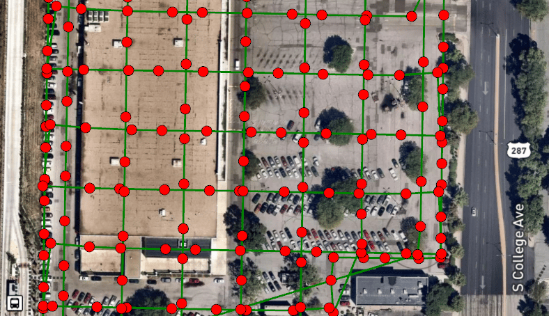
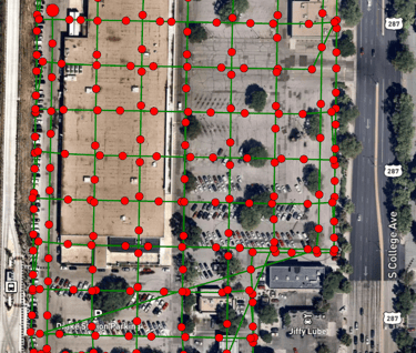
Photogrammetry is a cost-effective and efficient way to collect detailed spatial information. It is simply the science of obtaining measurements from photographs. This technique uses aerial imagery captured by drones to create 3D models and maps of the Earth's surface and objects.
By taking multiple overlapping photographs from different angles and positions, specialized software can reconstruct the subject's geometry and accurately determine the shape, size, and location of objects and terrains. The applications for drone photogrammetry are vast, including mapping and surveying, construction, environmental monitoring, archaeology and cultural heritage, mining and quarrying, agriculture, disaster response, and film and entertainment. By utilizing drone photogrammetry, you can make better decisions in various industries and fields.
Contact Airborne Insight today to discuss your photogrammetric needs.