Infrastructure Indexing
Drone use for infrastructure indexing.
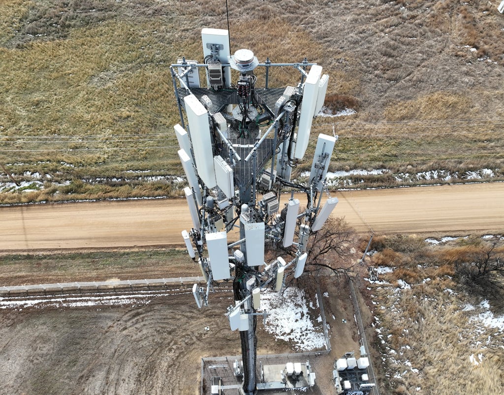
Infrastructure indexing is a critical part of ensuring that our roads, bridges, pipelines, and buildings remain safe and functional. As an expert in drone services, I can confirm that drones are the best tool for capturing high-resolution aerial imagery and data to assess the condition of infrastructure. Drones equipped with advanced sensors, such as LiDAR and high-resolution cameras, can quickly and accurately survey large areas, providing detailed information that is essential for infrastructure management and planning. This data can be processed to produce detailed 3D models, maps, and point clouds, which help identify maintenance needs and support informed decision-making.
One of the greatest benefits of using drones for infrastructure indexing is the increased safety they provide. By eliminating the need for manual inspections in hazardous or hard-to-reach areas, drones reduce the risk of accidents and improve overall safety. Moreover, drone surveys are speedy and efficient, which minimizes downtime and disruptions to normal operations.
In conclusion, drones are revolutionizing infrastructure indexing by providing a faster, safer, and more cost-effective means of gathering accurate and comprehensive data. As a drone service provider expert, I can confidently say that drones are the future of infrastructure management and planning. With drone technology, we can ensure that our infrastructure remains safe, functional, and reliable for years to come.